Field manual · 03/12
Coordinates & Position
The app is built around the Military Grid Reference System, with UTM and latitude/longitude always one tap away.
your position

Position screen
The Position tab shows your current location in every coordinate format at once, plus altitude, speed, heading and the local weather.
Crosshair readout
The coordinate bar at the top of the map always shows the crosshair position. Tap it to cycle between MGRS, UTM and Lat/Lon.
formats & datums
Settings → Formats & Units selects the preferred coordinate format and the geodetic datum (WGS84 by default), along with distance, angle, altitude, speed and temperature units.

Coordinate Converter
Tools → Coordinate Converter converts any value between MGRS, UTM and Lat/Lon — paste a grid from a radio message and jump to it.
search

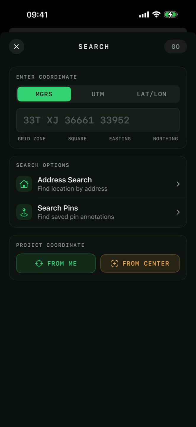
Address & coordinate search
The Search tab accepts street addresses, place names, or raw coordinates in MGRS, UTM or Lat/Lon. Results drop the map right on the spot.