
Field manual · 12/12
Settings
Settings is where the app is tuned to your unit's SOP — formats, units, grid style and screen behavior.
night vision
Red or green monochrome
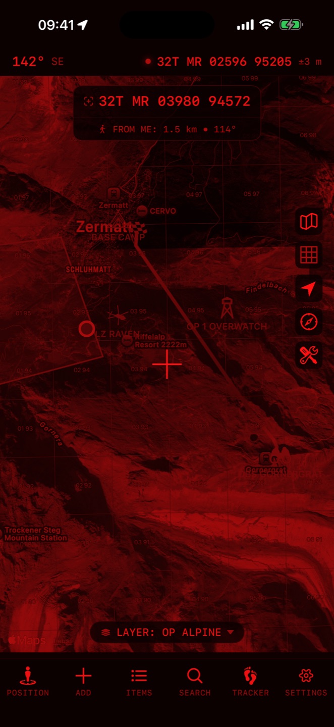
Settings → General → Night Vision switches the entire app — every screen, including maps — to red or green monochrome to preserve your dark adaptation. Off / Red / Green.
general
formats & units
Coordinate format (MGRS / UTM / Lat-Lon variants), geodetic datum, and units for distance, angle (degrees/mils), altitude, speed, wind and temperature, plus date format and 24-hour time. The MGRS Grid section styles the grid overlay: density, per-level colors and opacity.
map cache
Map data from OpenStreetMap, OpenTopoMap and trail layers is cached as you zoom and scroll, allowing offline access to previously viewed areas. Clear Cache deletes all stored map data — you'll need connectivity to re-download it.