Field manual · 04/12
Pins & Overlays
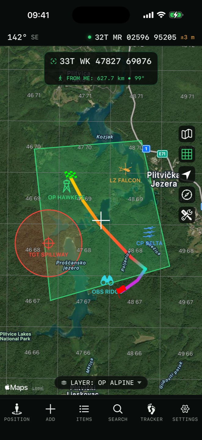
Everything you place on the map — pins, routes, shapes — is an item you can edit, measure, navigate to, organize into layers and export.
creating items
Tap Add in the tab bar and pick a type. Drawing happens at the map crosshair: position the map, add points, adjust, save.
Pin
A single marked position with name, notes, color and symbol.
Polyline / Route
A multi-point line — patrol route, boundary or bearing line. Shows live length while drawing, and an elevation profile once saved.
Polygon
A closed area with live area and perimeter measurements.
Circle & Rectangle
Radius and box overlays for zones, danger areas and sectors.
nato app-6 symbols
Military symbology
Instead of a generic pin color, assign a standard APP-6 symbol from the built-in picker — thousands of symbols covering land units, equipment, installations, air, sea and control measures, in Friend / Hostile / Neutral / Unknown affiliations.
managing items
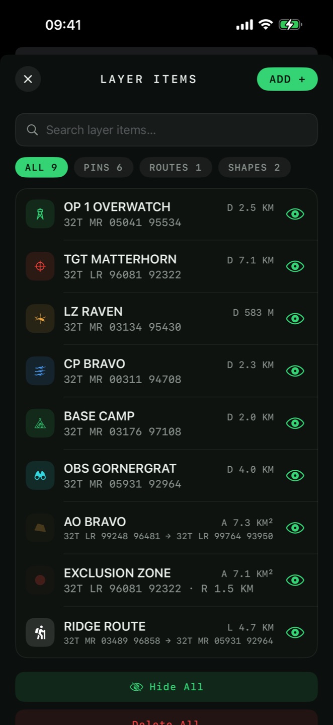
Items screen
Browse and search every saved item. Add via form for exact coordinates, edit via form, or delete.
Editing on the map
Tap any pin or overlay on the map to see its measurements and open editing — move points, restyle, rename.